Pyrenees Hike, or, the Endless End

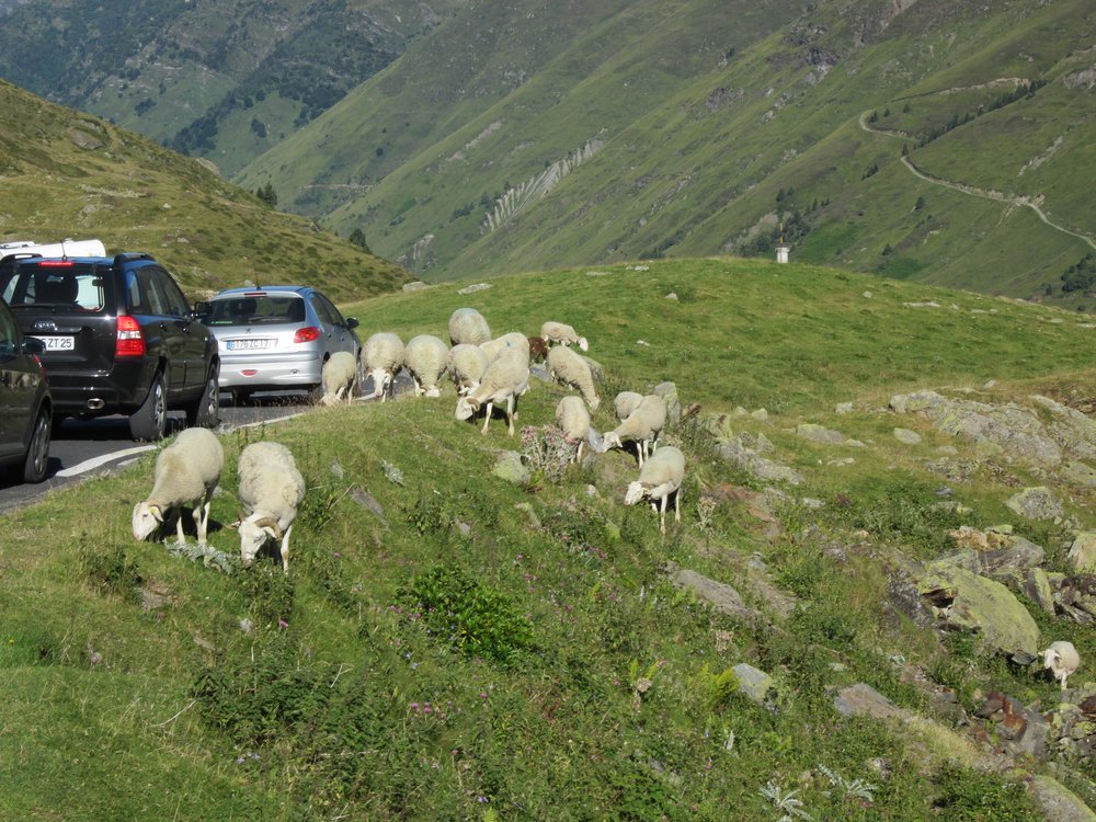
We wind up the col du Tourmalet, a pass famous in the grueling tour de France, passing many cyclists. Some look fit, others are wobbling they are barely moving forward; all are sweating, breathing heavily. Two years ago my brother-in-law Olivier and I had bicycled up the shorter but still steep Col d’Aspin on bicycles I’d given to Becky and Olivier as wedding gifts. That makes them 25 years old. Every kilometer there are signs that tell you the steepness of the grade (10% starts to really hurt). But the signs encouraged me, setting my sites on the next sign, a kilometer away.


We wind up the col du Tourmalet, a pass famous in the grueling tour de France, passing many cyclists. Some look fit, others are wobbling they are barely moving forward; all are sweating, breathing heavily. Two years ago my brother-in-law Olivier and I had bicycled up the shorter but still steep Col d’Aspin on bicycles I’d given to Becky and Olivier as wedding gifts. That makes them 25 years old. Every kilometer there are signs that tell you the steepness of the grade (10% starts to really hurt). But the signs encouraged me, setting my sites on the next sign, a kilometer away.

Becky slips on a rock landing hard on her hand, and nicking her nose. She’s bleeding. I put a water soaked bandana to her nose and wonder if she should keep hiking. I’m secretly hoping that she’s ok, but hesitant about hiking because then we could sit for a while, and—look at birds. But Becky’s a trooper, and up she goes, ready to tackle the pass in front of us, the col de Madamète, at 2,657 meters. The path up is gentle, following a stream, and flanked by wide, green fields. Alpine flowers—bluebells, and others I don’t know dot the landscape. From time to time we pass a stand of pine trees. I spy a pied flycatcher, and higher up the small, lively Alpine accentor.
We stop at the col, which gives us vistas down into the valley on the far side, and into the Neouvielle chain of mountains, including the dramatic Vignemale and Balaitous. Two lakes, the Cape de Long and d’Orédon dot the valley below. A trail loops us toward the west, into another valley.
 Half an hour past the col there’s suddenly no one. In the same way that the most popular trails are crowded, secondary trail are empty. There’s a deep sense of silence, as I stand in a valley, admire the high peaks, and wonder where all the big raptors are. There are none in this valley.
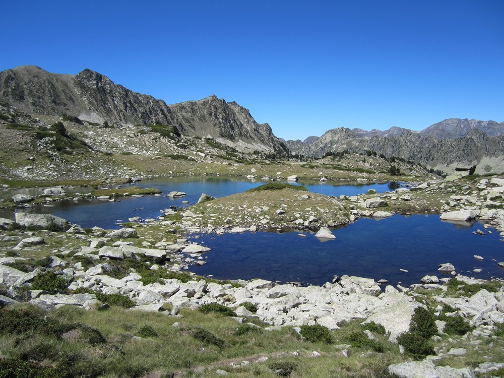
We pass the blue-green Lac de Tracens, and I clamor about swimming. The high sun is battling against the cooler air of high altitude, and winning. I’m hot. Only at the next lake do we stop, the Lac Blanc. There, we dip our feet into the water and watch fish nibble at our feet. Then I plunge in, the shock of cold delicious on my sun-tightened skin.
And then there is the descent into the valley where we parked. What didn’t seem that long on the way up, is endless on the way down. “Don’t you know,” Becky says, “that the ends are always endless.”